MOUNT MERU
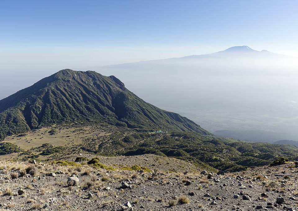
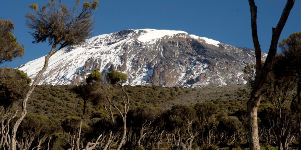
Mount Meru is a dormant stratovolcano located 70 kilometers west of Mount Kilimanjaro in the Southeast Arusha Region, Tanzania. At a height of 4,562 meters (14,968 ft), it is visible from Mount Kilimanjaro on a clear day and is the fifth-highest of the highest mountain peaks of Africa, dependent on definition.
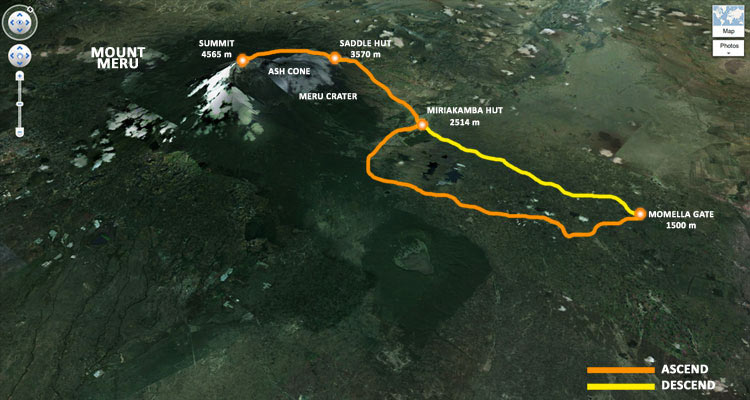
Mount Meru is located just north of the city of Arusha, in the Arusha Region of Tanzania. It is the second-highest mountain in Tanzania, after Mount Kilimanjaro. Mount Meru is also the highest mountain/point in Arusha Region. The Momella route – which starts at Momella gate, on the eastern side of the mountain – is used to climb Mount Meru.
Mount Meru is often overlooked due to its proximity to Kilimanjaro, but it has plenty to offer those looking for a challenging climb. It can be climbed in just 3 or 4 days and is ideal for individuals who wish to experience high altitude hiking without traveling too far before or after going on safari. It may also be climbed before climbing Kilimanjaro to aid in acclimatization. It is perfect for people searching for a more sedate trekking experience, but climbers still need to properly acclimate in order to reach the peak, so it shouldn’t be underestimated.
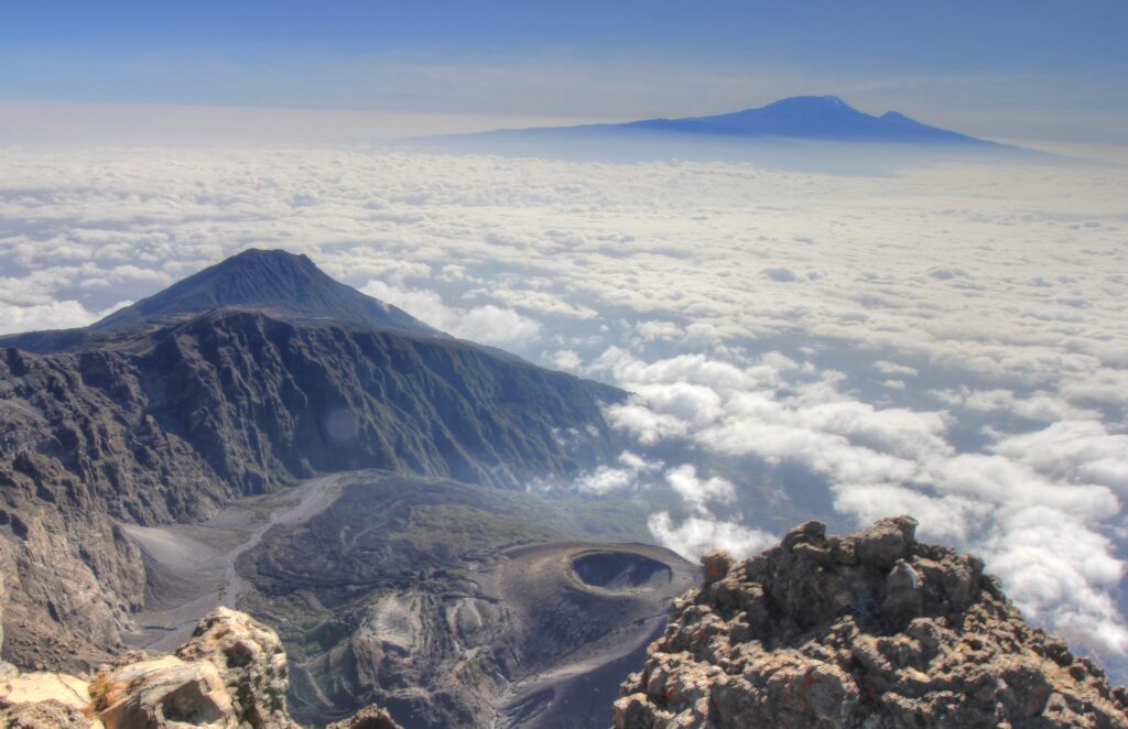
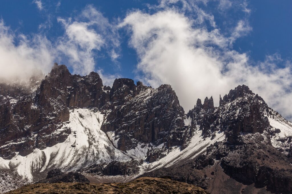
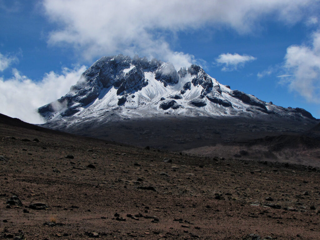
Much of its bulk was lost about 7,800 years ago due to a summit collapse. Mount Meru most recently had a minor eruption in 1910. The several small cones and craters seen in the vicinity probably reflect numerous episodes of volcanic activity. Mount Meru’s caldera is 3.5 kilometers (2.2 miles) wide.
Mount Meru is the topographic centerpiece of Arusha National Park. Its fertile slopes rise above the surrounding savanna and support a forest that hosts diverse wildlife, including nearly 400 species of birds, and also monkeys and leopards.
The movie Hatari! was filmed at the foot of Mountain Meru.